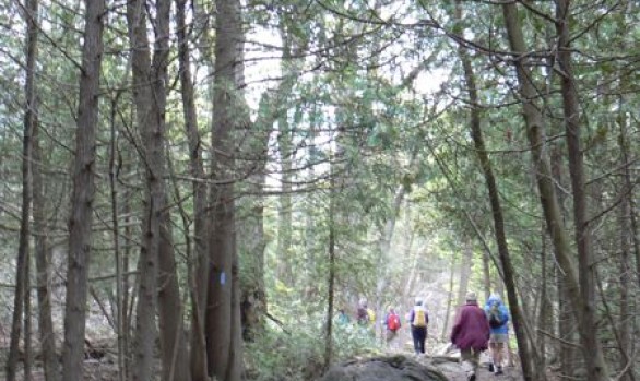
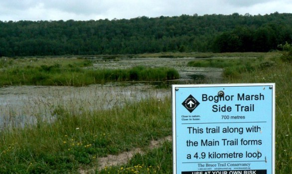
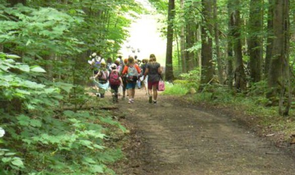
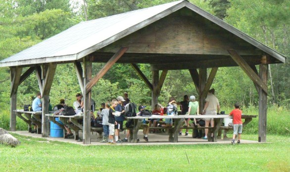
One of the largest marsh systems in Grey County, this area is 668 hectares of escarpment upland forests, three major marshes, Ducks Unlimited dam, Bruce Trail access, reforested areas, and several small springs. You can hike on 11.9 km of trails, experience the Bognor boardwalks, observation tower and view the interpretive plaques along the boardwalk. This is a multi-use area visited by school classes, hikers, naturalists, birders and hunters (during the fall season).
GPS Coordinates:
Latitude: 44.53833° North,
Longitude: -80.7819° West,
UTM X Easting: 517324.6355,
Y Northing: 4931690.145
Visit Our Parking Page for Payment Information
Latitude: 44.53833° North,
Longitude: -80.7819° West,
UTM X Easting: 517324.6355,
Y Northing: 4931690.145
Visit Our Parking Page for Payment Information
Activities
